


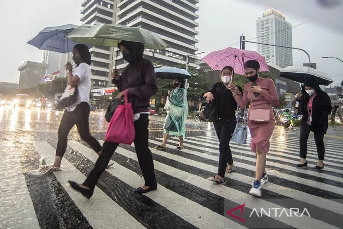
SEAToday.com, Jakarta - The Meteorology, Climatology, and Geophysics Agency (BMKG) has identified the potential for extreme weather in western Indonesia over the coming week due to the influence of tropical cyclone seed 91S and Madden Julian Oscillation (MJO) activity.
Tropical cyclone seed 91S has been detected in the Indian Ocean, south of West Java, with maximum wind speeds of 15 knots (28 km/h) and a minimum pressure of 1010 hPa, moving west-southwest.
Although it has a low chance of developing into a tropical cyclone within the next three days, it could still intensify weather conditions in southern Sumatra and West Java. It may also cause higher waves in the waters from southwest Sumatra to southern Nusa Tenggara.
Meanwhile, the MJO is currently in Phase 2 (Western Indian Ocean), which is increasing rainfall in western Indonesia. BMKG predicts that as the MJO moves into Phase 3 (Eastern Indian Ocean), it will further impact weather patterns across western and central Indonesia.
The combination of these tropical disturbances is expected to bring heavy rainfall, particularly in western and central Indonesia.
For March 18 – 20, 2025, expect cloudy to light rain in most areas, with moderate to very heavy rain, thunderstorms, and strong winds in the following regions:
For March 21 – 24, 2025, cloudy skies and light rain will continue, with moderate to extreme rain, thunderstorms, and strong winds in the following areas:
For detailed weather updates, visit BMKG's official website, mobile app (infoBMKG), or social media (@infoBMKG).
Writer: Andi Raisa Malaha Thambas